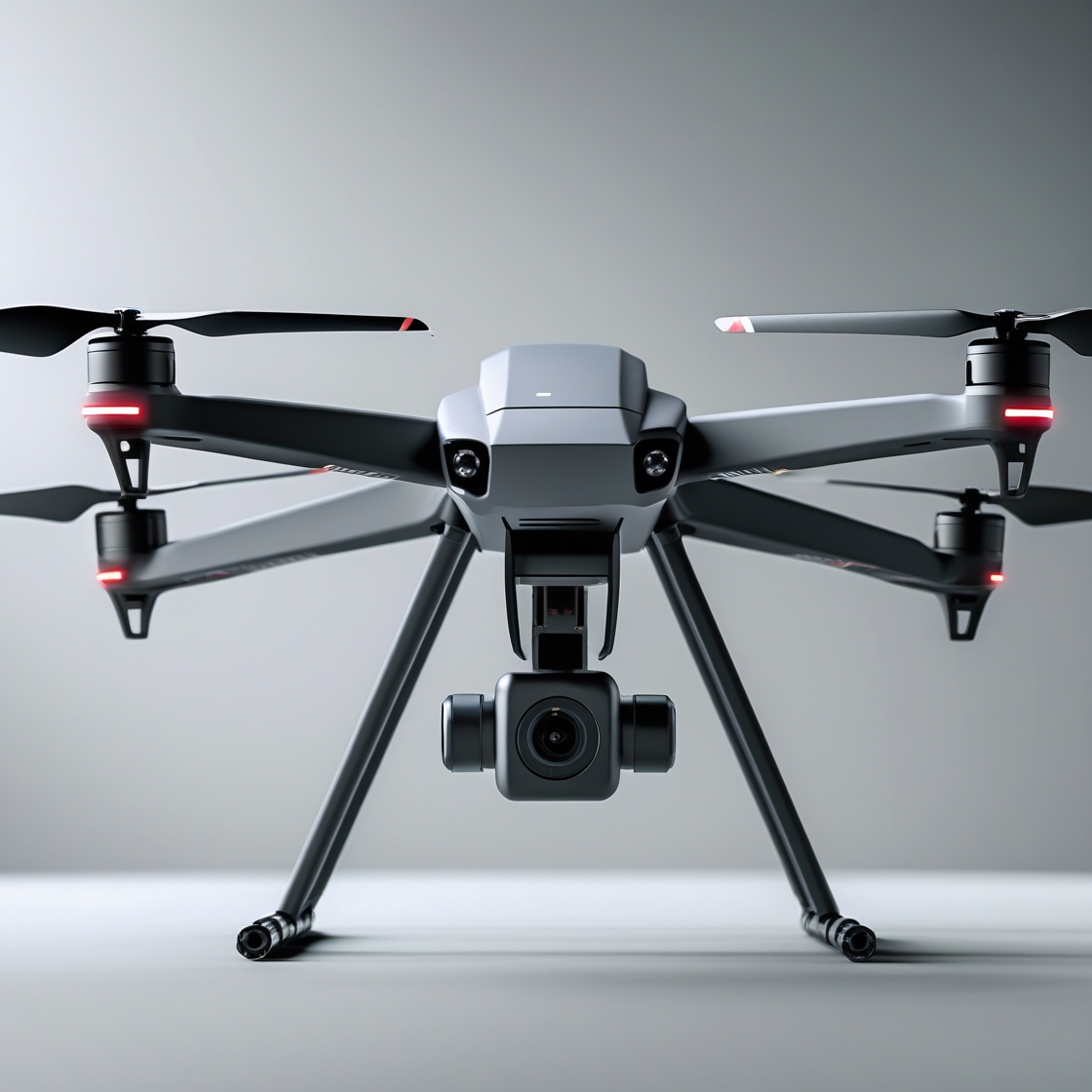
Innovative Infra Hub (IIHub), as a subcontractor to Infrastructure Consulting Group (ICG), successfully executed a drone-based pavement assessment and 3D modeling project covering 17.5 miles of roadway near Hamlin, Texas. The network included both asphalt (50%) and gravel (50%) roads, requiring a combined PCI (Pavement Condition Index) and UPCI (Unpaved Road Condition Index) evaluation.
Utilizing high-resolution UAV imagery at 0.1 inches per pixel, IIHub captured detailed surface conditions. Every 0.5 centerline miles, we constructed stitched 3D models for enhanced visualization of pavement deformations—such as rutting, depressions, and irregularities—enabling deeper structural analysis. Our process adhered to ASTM D6433 and TM 5-626 standards, ensuring a standardized, data-driven assessment.
“The final deliverables—geo-referenced orthomosaics, high-resolution images, and 3D reconstructions—provided the client with precise, actionable insights to guide effective maintenance planning and rehabilitation strategies.”
By combining robust drone technology with AI-driven analytics, IIHub delivered a comprehensive pavement condition report that helps local authorities make informed decisions about repairs, future upgrades, and overall infrastructure management. The project demonstrates how advanced surveys can reduce costs and minimize disruptions compared to traditional methods.
Our pavement evaluation strictly follows ASTM D6433 and TM 5-626 standards for classifying and quantifying distresses. Deliverables included geo-referenced orthomosaics, high-resolution images, stitched 3D reconstructions, and a comprehensive final report.
These outputs offer intuitive visual data for all stakeholders, facilitating collaborative decision-making and more accurate budget allocations for repairs.