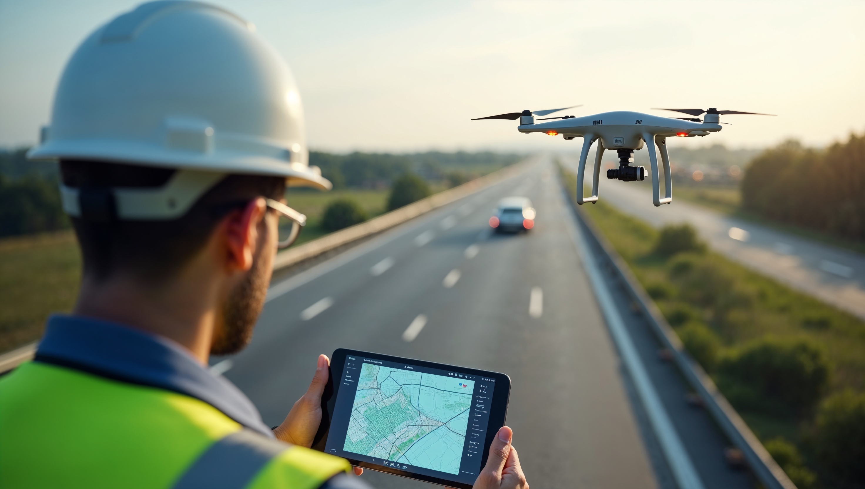
We combine engineering expertise, advanced UAV technology, and AI analytics to deliver precise digital twin models, detailed pavement assessments, and actionable data for safer, smarter infrastructure.
Who We Are Contact Us
Experience minimal disruption, faster turnaround, and cost-effective surveys—powered by our FAA-compliant drone operations and high-resolution aerial imaging.
Our Services Get in Touch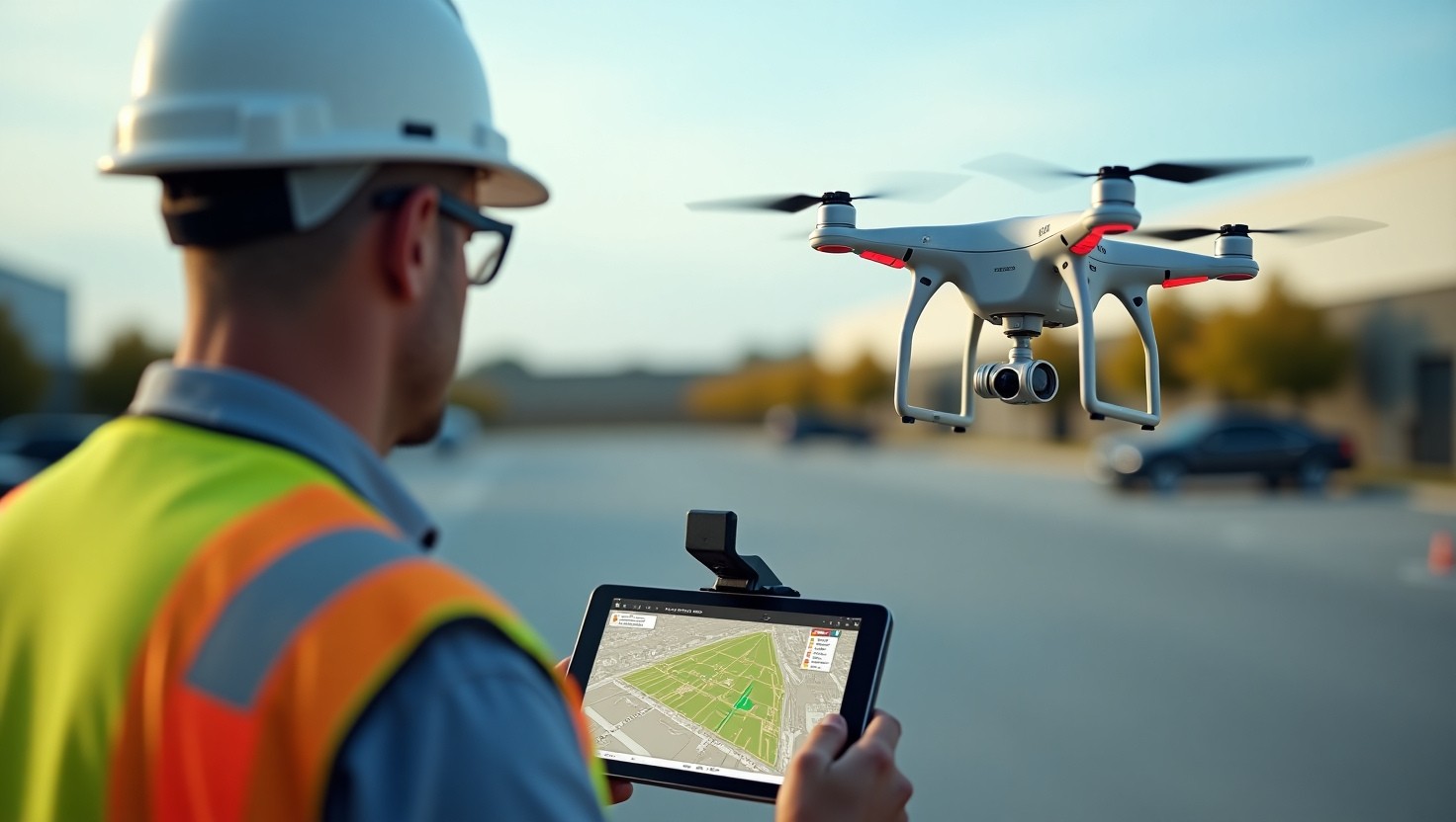
Our advanced technology captures high-resolution data for accurate condition indices, 3D reconstructions, and maintenance insights across diverse infrastructure networks.
View Projects Learn More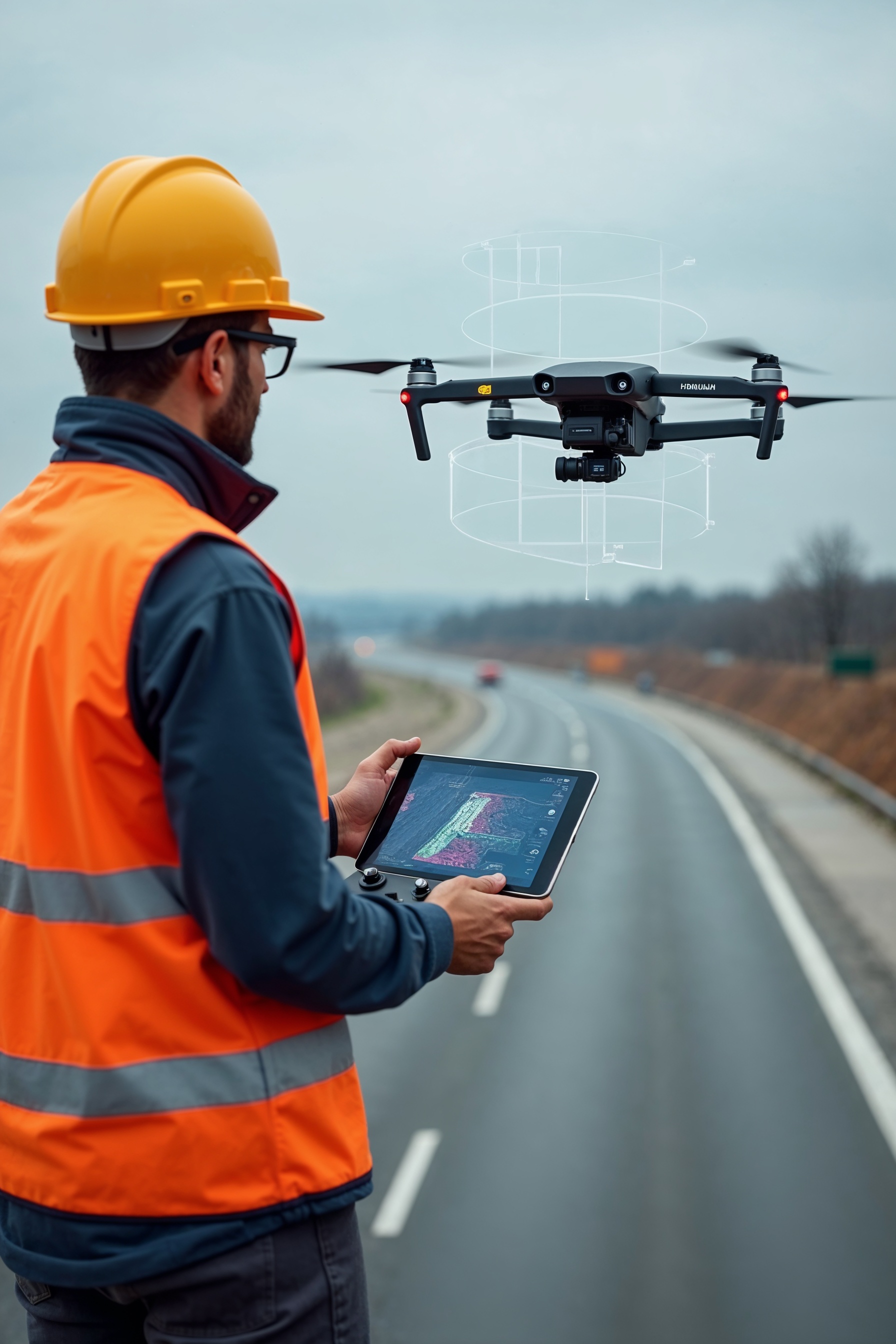
We leverage cutting-edge UAVs and AI-driven software to capture and process detailed aerial imagery, generating reliable insights for pavement and infrastructure health.
Read more
Our certified pilots and flight plans adhere to FAA regulations, ensuring safe, legal, and professional drone surveys for your projects across the United States.
Read more
Our digital twin modeling, GIS mapping, and advanced analytics empower you with data-driven strategies for maintenance prioritization and infrastructure planning.
Read more
Our integrated reporting platform delivers clear, concise, and actionable insights, empowering you to make timely infrastructure decisions.
Read moreInnovative Infra Hub (IIHub) specializes in drone-based surveys and digital twin modeling for roads, parking lots, and airports. Our high-resolution data collection and advanced AI analytics deliver precise, actionable insights for sustainable infrastructure management.
Our Projects
Innovative Infra Hub (IIHub) is transforming infrastructure assessment through UAV technology and AI analytics. We deliver precise digital twin models, standard-compliant PCI/UPCI reports, and actionable insights for optimal asset management.
© 2025 Innovative Infra Hub. All rights reserved.